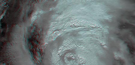
New Katrina sat pics from NASA; more coming via Google: "Xeni Jardin:

BB reader Phil Gross says,
Regarding use of Google Earth to overlay near-live damage photos: Satellite photos of Katrina's damage will be available through Google Earth and Google Maps in the next few days. They've scheduled time on five flyovers in the next week. Poeple will at least be able to see the damage for a large part of the area at a fair level of detail. Link
(Via Boing Boing.)
No comments:
Post a Comment